
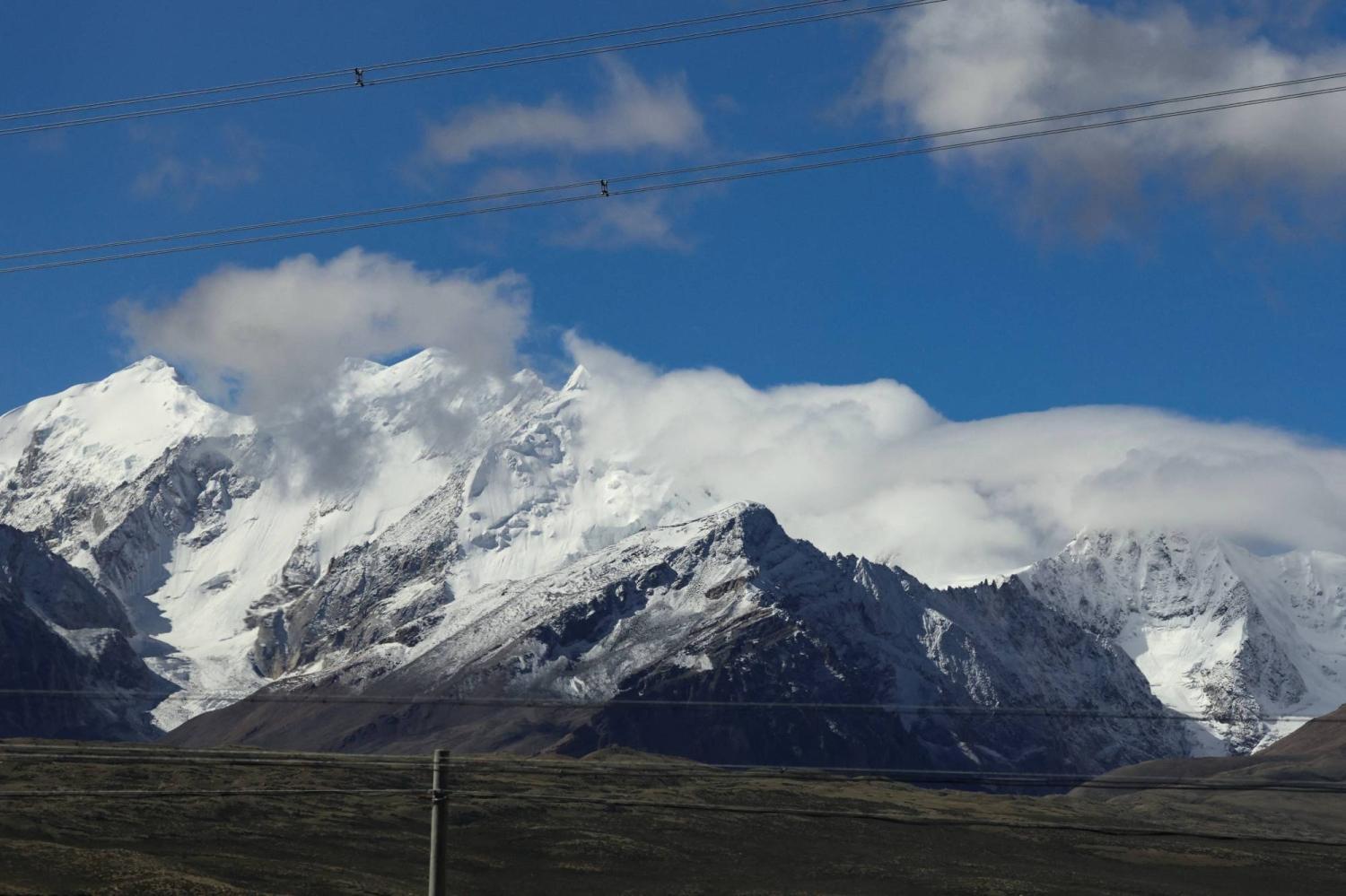
The Himalayas are approaching a critical point as accelerating glacier loss threatens water security, livelihoods and economic activity across the region, with a new report warning that the mountain ecosystem supports activities accounting for more than 20 per cent of India’s GDP.
Scientists have warned that the Hindu Kush Himalaya (HKH) region is moving towards “peak water”, a point at which glacier-fed river flows could eventually begin declining as glaciers lose their ice reserves.
The International Centre for Integrated Mountain Development (ICIMOD) reports show that the rate of ice loss in the HKH has doubled since 2000. The findings are contained in two reports, Changing Dynamics of Glaciers in the Hindu Kush Himalaya Region from 1990 to 2020 and HKH Glacier Outlook 2026: Insights from 50 Years of Himalayan Glacier Monitoring.
The reports found that glaciers have lost up to 27 metres in ice thickness since 1975, raising concerns for nearly two billion people living downstream who depend on water from the region, often described as the “Water Towers of Asia”.
The Ministry of Earth Sciences has said Indian agencies have documented “accelerated and heterogeneous mass loss” in Himalayan glaciers. Organisations including the Geological Survey of India, Wadia Institute of Himalayan Geology, National Centre for Polar and Ocean Research, National Institute of Hydrology and Space Applications Centre, along with academic institutions such as the Indian Institute of Science, have been monitoring glaciers and their changes.
Government data has also recorded glacier retreat across the Indus, Ganga and Brahmaputra river basins.
A study by the University of Leeds, which reconstructed the extent of 14,798 Himalayan glaciers during the Little Ice Age 400 to 700 years ago, found that glaciers have lost ice at a rate about 10 times faster in recent decades than the long-term average since the last major glacier expansion.
The study found that glaciers have lost about 40 per cent of their area over the past 400 to 700 years, shrinking from around 28,000 square kilometres to about 19,600 square kilometres.
The consequences extend beyond declining water availability. Changes in glacier basin hydrology can affect downstream water budgets, hydropower generation and agricultural practices, while increasing the risk of flash floods, sedimentation and glacial lake outburst floods (GLOFs).
The growth in the number and volume of glacial lakes is a particular concern. Nearly 200 glacial lakes in India have been identified as high risk, including 56 classified as “very high risk”, according to data cited by Reuters.
GLOFs occur when water accumulated in glacial lakes is suddenly released, potentially because of excessive water accumulation, earthquakes or the failure of natural dams. A GLOF in Sikkim in October 2023 killed at least 60 people and caused extensive damage across four districts.
The growing risks are also linked to the possibility of cascading disasters in the high mountains, where one event can trigger several others downstream.
A senior Geological Survey of India official, Singh, said a single high-altitude event could trigger avalanches, landslides, river blockages and flash floods, rapidly magnifying destruction downstream.
“Himalayan hazards cannot be assessed in isolation,” Singh said, stressing the need to combine satellite observations with field investigations and ground instrumentation.
The warning comes in the wake of devastating flash floods near the Nepal-Tibet border on August 26, which caused widespread destruction in northern and central Nepal. Floodwaters carried by the Bhotekoshi river swept away homes, roads and bridges.
Singh said potentially unstable mountain systems need to be identified before they develop into catastrophic events.
“A single instability at high elevation can initiate a sequence involving an avalanche, landslide or glacier failure, river blockage, dam-break type release, debris flow,” he said.
He called for systematic scientific screening of potentially high-risk areas, particularly locations where a high-altitude failure could rapidly enter a river system and threaten downstream populations and infrastructure.
Satellite monitoring could provide early warning in some cases, Singh said, but predicting the precise timing of a failure remains difficult.
“Satellite observations can potentially provide valuable precursor information, particularly where progressive deformation or acceleration occurs before failure,” he said. “However, a detected increase in movement indicates that the particular slope is in distress; however, the failure will occur on reaching the limit equilibrium condition, which may be difficult to predict.”
Scientists and officials therefore say a combination of satellite-based monitoring, field investigations and ground instrumentation will be crucial to improving early warning systems and reducing the risks posed by the rapidly changing Himalayan environment.




Comments (0)